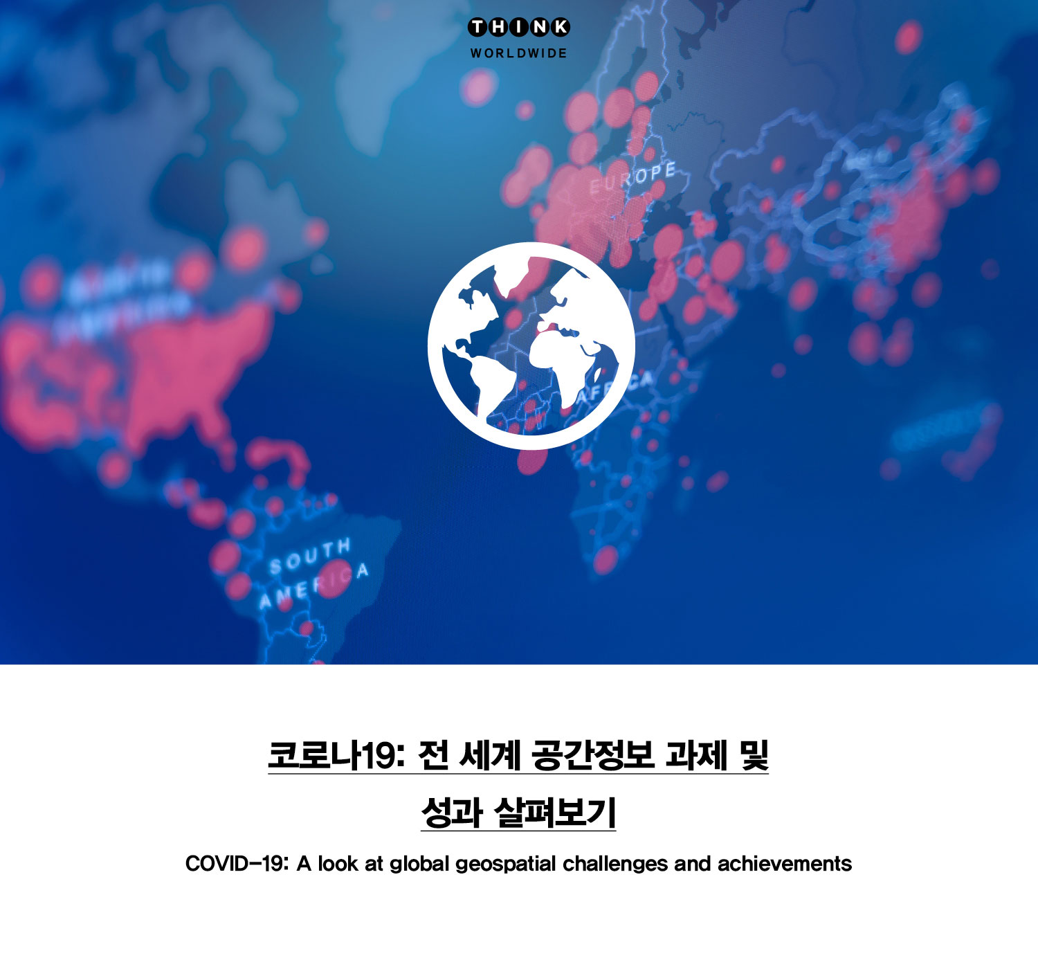
세계 각국의 정부는 공간정보 데이터 및 기술을 통해 코로나19 사태에 대한 답을 찾는 데 도움을 얻고 있는 한편, 대응 노력에 영향을 미치는 제약을 해소하고자 힘쓰고 있다. 세계 각국의 지도자들은 현명한 해법을 도출하기 위해 데이터 수집 및 분석을 위한 협력 전략을 마련하고 있다.

While geospatial data and technology are helping governments worldwide answer critical COVID-19 questions, each country deals with unique but related constraints that impact response efforts. Many world leaders are forging partnerships and creating collaborative strategies to gather data and analysis to address their constraints and deliver data-driven responses.

이 작업은 지속가능한 개발 목표, UN 센다이 프레임워크 및 UN 파리 기후 협약에 나와 있는 환경, 사회 및 경제 문제에 대한 탄력성을 강화하기 위해 약 200개국이 2015년에 합의한 내용을 기반으로 한다. 합의 후 5년이 지난 지금, 전 세계는 국제사회의 노력을 크게 방해하고 추진 전략을 바꿀 수 있는 파괴적인 전염병에 직면해 있다.

This work builds on a 2015 commitment from nearly 200 countries to strengthen resilience to environmental, social, and economic challenges—outlined in the Sustainable Development Goals, the Sendai Framework, and the Paris Climate Agreement. Five years later, the world confronts a devastating pandemic that could significantly hinder these efforts and alter strategies moving forward.

정부나 관련 기관이 이 문제의 해결을 위한 조치에 나서려면 인구 현황, 이동 및 필수 서비스 접근성에 대한 정확한 정보가 필요하다. 그러나 바이러스 대유행 중에 제대로 된 데이터를 수집하는 것은 쉬운 일이 아니다.

Before an agency or government can act, it needs accurate information about population count, movement, and accessibility to essential services. But, gathering robust data during a pandemic is no easy feat.

여러 출처에서 나온 전 세계 인구 데이터는 이런 차이를 메우는 데 도움이 된다. UN 지속가능 개발네트워크의 일부인 TReNDS는 자연 재해 및 위기 발생 시 영향을 추정하는 데 필수적인 데이터 리소스를 자세히 설명하는 보고서를 최근에 준비했다.

Several sources for global population data help fill in the gaps. The Thematic Research Network on Data and Statistics (TReNDS), part of the United Nations Sustainable Development Solutions Network, prepared a recent report detailing data resources that are essential to estimating impacts in times of natural disaster and crisis.

불충분한 테스트와 경제 제재 및 부적절한 보건 인프라로 인해 코로나19 사례에 대한 가용 데이터는 실제로 발생하는 상황의 일부만을 보여주고 있다. 리더들은 상황을 보다 정확하게 평가하는 데 도움이 되는 데이터 세트를 신속하게 선별하려고 한다. 여기에서는 4개의 각기 다른 조직의 코로나 바이러스 대유행 대응을 살펴보고 대유행 대응 노력과 광범위한 데이터 요구사항 및 정책 또는 기술과 관련된 문제에 대해 자세히 탐색해보자.

Hindered by insufficient testing, economic sanctions, and inadequate health infrastructures, the available data for COVID-19 cases only covers a fraction of what is happening on the ground. Leaders are rapidly trying to curate datasets that can help assess the situation with more precision. Here we explore the pandemic response work of four organizations to learn more about their pandemic response efforts as well as the wide range of data requirements, and challenges related to policy or technology.

부문 간 협업 및 파트너십

튀니지 공공보건부는 병상의 수를 비롯해 기능성 호흡기 및 모니터 장비, 주사기 펌프 및 개인 보호 장비 등 필수 의료 장비를 포함하며 해당 지역의 의료 인력에 대한 위치정보 데이터베이스를 구축했다. 이 팀은 Esri 유통업체, Graphtech, 아프리카공간정보개발협회(AGEOS)와 협력하여 튀니지 공공보건부 웹사이트에 실린 자원의 실시간 모니터링을 위한 지도를 작성했다. 또한 주민들을 필수 서비스와 연결하기 위한 지도도 만들었다. Graphtech와 아프리카공간정보개발협회(AGEOS)는 튀니지 공공보건부의 코로나19 대응 노력을 지원하기 위해 GIS 애플리케이션을 성공적으로 제공하여 모든 관련 이해 관계자들의 대응력을 한층 향상시켰다.

Cross-sectoral Collaboration and Partnerships

In Tunisia, the Ministry of Public Health built a georeferenced database of hospital bed capacity, necessary medical equipment (including functional respirators and monitors, syringe pumps, and personal protective equipment), and the number of corresponding medical staff. The team worked with Esri distributor, Graphtech, and the African Association for Geospatial Development (AGEOS) to create maps for real-time monitoring of resources, featured on the Tunisian Ministry of Public Health’s website. They also created maps to connect residents with essential services. The Graphtech and AGEOS team successfully delivered GIS applications to support the Ministry of Health’s COVID-19 response efforts, improving responsiveness for all stakeholders.

모든 지역과 인구 포함 시키기

콜롬비아에서는 통계청과 직접 협력하는 싱크탱크 Cepei를 통해 도시 지역에서 보고된 코로나19 확진 사례의 대다수를 발견했다. 도시 지역의 확진자 및 사망자, 기타 건강 통계에 대한 데이터가 위치정보화되어 있어 보다 쉽게 분석할 수 있다. 그런데 불행하게도 농촌 지역의 지방 정부는 취약한 인구를 식별하고 실시간으로 대응하는 데 필요한 데이터 및 도구에 접근할 수 없다.

Inclusion of All Geographic Locations and Populations

In Colombia, representatives from Cepei, a think tank working directly with national statistics offices, found the majority of reported COVID-19 cases in urban areas. Data on the number of infected individuals, deaths, and other health statistics in Colombian cities is georeferenced, making it easier to map and analyze. Unfortunately, local governments in rural areas lack access to the data and tools necessary for identifying vulnerable populations and responding in real time.

도시와 농촌 지역 간의 정보 격차에도 불구하고 여러 팀들이 공간정보 기능을 적용하여 전국 모든 지역이 코로나 바이러스 대응 및 계획을 개선하기 위해 협력하고 있다. 예를 들어 Cepei의 직원들은 UN 라틴아메리카 및 카리브해 연안 경제위원회(ECLAC)와 긴밀히 협력하며 지속가능한 개발 목표에 대한 코로나 바이러스의 영향을 검토하고 있다.

Despite the information gap between urban and rural areas, groups are working together to apply geospatial capabilities for better preparedness and planning across the country. Staff at Cepei, for instance, are reviewing the COVID-19 impact on Sustainable Development Goals (SDGs), working closely with the United Nations Economic Commission for Latin America and the Caribbean (ECLAC).

Cepei 직원들은 UN 라틴아메리카 및 카리브해 연안 경제위원회(ECLAC)가 만든 대화형 지도를 참조하여 라틴아메리카 및 카리브해 연안 지역에서 33개국의 공공 정책을 이용할 수 있게 하여 코로나19의 유행 관련 이동 제한 및 학교 폐쇄와 같은 전염병의 영향 완화를 지원하고 있다.

Staff at Cepei refer to an interactive map created by ECLAC that makes public policies from 33 countries available from Latin American and Caribbean regions to mitigate the impact of the COVID-19 pandemic, such as restrictions in movement and school closures.

보고타 시청은 도시에서의 이동, 여행 기록 및 연락처 추적을 기반으로 각 지역의 바이러스 확산을 모니터링하고 있다. 연령과 성별에 따라 분리된 데이터는 정책과 규제 개선 과정에서 투명성을 높이기 위해 지도에 표시된 형태로 제공된다.

The Mayor’s office in Bogotá is monitoring the spread of the virus in each neighborhood based on movement in the city, travel history, and contact tracing. The data, disaggregated by age and sex, are presented on a map to encourage transparency in evolving policies and regulations.

실시간 맵핑을 위한 일관성 있는
국가 프레임워크

인도네시아의 공간정보 에이전시인 Badan Informasi Geospatial(BIG) 직원들은 공간정보 분석 및 통계 기능을 수행한 결과를 일일 리포트 형태로 자사의 웹사이트에 공개하고 있다. 하지만 지연된 보고로 인해 실시간 데이터가 충분하지 못해 GIS 모델 및 분석 결과에 부정적인 영향을 받고 있다. 또한 BIG 직원들은 분석의 정확성과 효과를 보장할 수 있는 데이터 프레임워크가 필요하다고 말하다. BIG의 재난지도 부서장인 페라리 피넴은 “데이터의 정확성을 보장할 수 없는 상황에서 사람들에게 제대로 된 서비스를 제공하는 것이 과연 가능할까요?”라고 물었다.

Cohesive National Framework
for Real-Time Mapping

In Indonesia, staff at geospatial agency Badan Informasi Geospatial (BIG) report strong spatial analysis and statistical capabilities with daily reports available on the BIG website. But insufficient real-time data, due to reporting lags, affects the outcomes of their GIS models and analysis. BIG staff also say they need a data framework that can ensure accuracy and effectiveness for their analysis. “How can we fully distribute services to the people when we can’t guarantee the accuracy of the data we have to the public?” said Ferrari Pinem, head of the disaster mapping division at BIG.

BIG의 업무를 어렵게 만드는 또 다른 요인은 지방 정부와 중앙 정부가 정책 결정을 위해 각기 다른 접근 방식과 도구를 가지고 다른 데이터와 다른 결과를 생성할 수 있다는 점이다. 인도네시아는 이미 통일된 데이터 정책을 도입했지만 이해 관계자들은 정책이 제대로 정착하기 위해서는 더욱 헌신해야 할 것 같다. BIG의 수석연구원 인 랏나 사리 데위는 “우리는 여전히 위치정보가 포함된 데이터에 대해 투명성을 유지하고 코로나19 확진자와 영향을 받는 사람들의 개인 정보를 보호하면서 개방형 시스템을 만들기 위해 노력하고 있다”고 말했다.

Another factor in BIG’s work is that the local and the central government may have different approaches and tools for policy making, generating different data and outcomes. Although Indonesia has already launched the one data policy, it seems the stakeholders should be more committed to implement the policy. “We are still trying to be transparent about georeferenced data and create an open system while protecting the privacy of COVID-19 patients and affected individuals,” said Ratna Sari Dewi, senior researcher at BIG.

데이터 수집 관련 표준 프레임워크의 부재는 코로나19 대응에 부정적인 영향을 미친다. 일관성 있는 정책과 공간정보 및 건강정보 데이터에 대한 접근 권한이 없으면 커뮤니티를 안전하게 유지하기 위한 특정 조치가 얼마나 효과적인지 판단하기가 어렵다.

The Lack of a standard framework in data collections will affect the effectiveness of COVID-19 response. Without cohesive policies or access to geospatial and health data, it’s difficult to determine how effective certain measures are for keeping communities safe.

앞으로 나아가기 :
공간정보 처리 능력 평가

이번 대유행은 코로나 바이러스 극복뿐만 아니라 글로벌 지속가능성 아젠다를 발전시키기 위해 정확하고 시기적절하며 포괄적인 데이터의 중요성을 보여줬다. 지역과 관계기관 간의 협력이 늘어남에 따라 중복된 작업을 피하고 데이터 차이를 해소하는 데 도움을 주었다.

Moving Forward :
Assessment of Geospatial Capacity

The pandemic has underscored the importance of accurate, timely, and comprehensive data not only to overcome COVID-19, but also to advance global sustainability agendas. As regions and agencies band together, they can avoid duplicate efforts and ensure resources are directed toward data gaps.

예를 들어 UN 라틴아메리카 및 카리브해 연안 경제위원회(ECLAC)의 직원들은 공간정보를 사용하여 정책을 알리고 라틴아메리카 전역에서 유행성 질병을 관리할 수 있는 공간을 만들고자 한다. 이들은 세 가지 주요 과제에 직면하고 있다. 첫 번째는 적절한 지원과 자원을 제공하기 위해 각국의 공간정보 처리 능력을 평가하는 것이다. 두 번째는 맵핑 기관, 공공보건부 및 기타 정부기관 사이의 조정을 강화하기 위해 공간정보 인프라와 같은 중앙 플랫폼을 구현하는 것이다. 세 번째는 바이러스 대유행이 2020년 인구조사 데이터 수집 같은 중대한 업무에 장기적으로 미치는 영향을 최소화하는 것이다.

For example, representatives from ECLAC are trying to create a space where geospatial information can be used to inform policies and help manage the pandemic across Latin America. They are facing three major challenges: assessing the geospatial capacity in each country in order to contribute the appropriate support and resources; implementing central platforms (such as spatial data infrastructures) to enhance coordination among mapping agencies, health ministries, and other government bodies; and minimizing long-term impacts of the pandemic on critical events such as delays in the collection of 2020 census data.

UN 라틴아메리카 및 카리브해 연안 경제위원회(ECLAC)와 아메리카 대륙을 위한 UN 글로벌 공간정보 관리(United Nations Global Geospatial Information Management for the Americas)는 코로나19 사태와 관련해 공간정보 격차 파악 및 요구사항을 식별하기 위한 조사를 수행했다. 이런 노력은 여러 관계자의 GIS 능력에 대한 인식과 이해 수준을 높이고 있다.

ECLAC and the Global Geospatial Information Management for the Americas conducted a survey to identify geospatial gaps and requirements in the context of COVID-19. This effort is raising levels of awareness and understanding about GIS capabilities.

UN 라틴아메리카 및 카리브해 연안 경제위원회(ECLAC)의 공간정보 관리 분야 전문가인 알바로 마우리시오 모네트 허난데즈는 “공간정보 데이터 및 기술을 구현하려는 ECLAC의 노력으로 인해 정부가 공간정보를 더 많은 이들에게 공개할 수 있는 기회가 생겼다”며 “예를 들어 칠레에서는 공공 뉴스 코로나 바이러스 관련 화면에 공간정보 플랫폼이 표시된다”고 말했다.

“ECLAC’s encouragement to implement geospatial data and technologies has created an opportunity for countries to showcase geospatial information to a wider audience,” said Álvaro Mauricio Monett Hernandez, regional expert in geospatial information management at ECLAC. “In Chile, for example, the national news outlet displays a geospatial platform during COVID-19 reporting.”

라틴아메리카, 튀니지, 인도네시아 및 기타 지역에서 드러난 문제들은 GIS를 사용하여 중요한 데이터를 구성, 분석, 시각화 및 공유하기 위해 보다 협력적이고 일관성 있는 작업이 필요하다는 것을 보여준다.

Challenges faced in Latin America, Tunisia, Indonesia, and elsewhere demonstrate a need for more collaborative, cohesive operations using GIS to organize, analyze, visualize, and share crucial data.

전 세계적으로 유행하고 있는 감염병이 각 국가의 데이터 생태계의 강점과 약점을 드러나고 있지만 이번 대유행은 강력한 시스템을 재건하고 지속가능성 계획에 대한 부정적인 영향을 줄이기 위해 협력할 수 있는 기회를 제공한다는 측면도 있음을 놓치지 말아야 할 것이다.

As the global pandemic reveals strengths and weaknesses in each nation’s data ecosystem, it presents a chance to work together to rebuild stronger systems and reduce adverse impacts on sustainability plans.